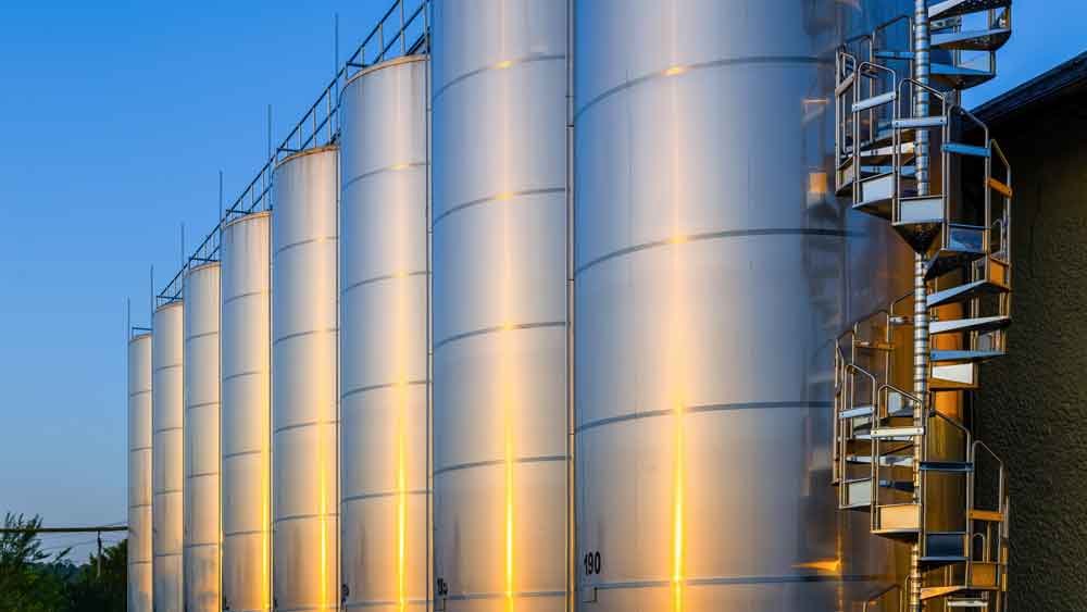
STORAGE TANK CALIBRATION & SURVEY
Calibration is a process of accurately measuring storage tanks, barges, ships & liquid bulk containers the capacity or partial capacities in a linear increment or height of the liquid. Surveying will be performed using the EODR (Electro-Optical Distance Ranging) method compliant with the API Manual of Petroleum Management Standards (MPMS).
Calibration is very much essential as reliable volumetric measures are vital while storing, blending, processing, etc. Accurate calibration is always preferred as it maintains the quality and quantity of products. It is called re-calibration when any changes or repairs are made to the tank; the detailed study is made through re-scantling analysis, tank settlement, tilt survey, etc. A tank survey can be carried out before any remedial work on the tank and/or after the work is complete and hydro-tested.
A theodolite measures the time needed for a pulse of infrared light to travel from the instrument to the target and back. All the distances measured, and the positions of the distances measured, i.e.: the vertical and horizontal angles and slope distances are recorded in the data terminal (GRE 3 ) for subsequent calculations. This method meets all the requirements as laid down in API Chapter 2 section 2 D.
As per the standard, the number of target points per set, on each course of the tank shell wall, is dependent on tank circumference.
To achieve an accurate calibration of the tanks, it is necessary to establish the profile of both the tank floor and the tank walls. The procedure sets out the methods used to survey an element that has started, it shall be continued without interruption until completed.
Tank-specific Data is required, it can be referred to the tank drawings or operator to determine the exact internal dimensions of each course and to calculate volumes as a function of the liquid height measured at a particular dip point.
With the presence of a floating roof, Roof Landed Height at the gauging point, Roof Landed at the shell/ annulus, Profile of the roof along one radius, and Roof or pontoon depth will be determined.
Field Data will be recorded for table calculation. A reference number, pertinent dates and location will be visible on the table for reference.

